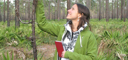
Karin Riley
Karin Riley, a fire researcher at the Forest Service Rocky Mountain Research Station, helped develop Tree M computer program that catalogs data for wooded areas across the Continental United States. The program researchers and fire crews to study and react to fire patterns for better mitigation and suppression. Source: Missoulian
“Lots of other people have tried to do this with limited success,” said Karin Riley, one of the researchers who helped develop the Tree Map. “When we started embarking on this, a lot of them told us we would fail. It’s a really hard problem.”
What Riley and co-designers Mark Finney and Isaac Grenfell did was start with a database called the Forest Inventory Analysis, a boots-on-the-ground catalog of sample plots where a forester walked around and recorded every kind and condition of tree in a 30-by-30 metre square. That inventory only includes one sample per square mile or more.
Then they took another database called LANDFIRE, developed by firefighters from satellite images. It reveals large-scale forest conditions like burn areas or disease infestations, also on a 30-by-30-meter grid.
Combine those two gigantic wads of information with topographic details like elevation, slope and sun exposure, apply some machine-learning algorithms, and the result is a computer program that can look at any of those 2.8 billion pixels and impute the kind, condition and characteristics of all the trees inside.
“Click on any pixel on the map,” Ms Riley said, “and it will pull up a list of trees say, 40 trees, 30 of them Ponderosa pine, these sizes, all derived from the other maps.”
With that information, a wildland fire incident manager can tell a ground crew to avoid building a line on a hillside covered with hazardous dead snags. Planners looking for places to light prescribed fires can target those snag areas, or places with low amounts of scenic or loggable older trees. Loggers can estimate more precisely how much marketable wood they can expect from a timber sale. Biologists can pinpoint prime wildlife habitat.
“The snag maps produced by this are already available,” Mr Finney said, adding they have been field-tested in actual 2020 wildfires. The maps can be downloaded to a firefighter’s mobile phone.
The map can also look into the future. As it gets annually updated with new satellite and ground data, it can predict how landscapes might react to a forest-thinning project compared with a prescribed burn, or how a tree stand might look in 50 years of growth under different climate conditions.
“This has never been done before on a national scale,” Mr Finney said. “Anybody, anywhere who needs access can have it. You don’t have to be a genius. People are already beating down the door to get access to this.”


