Trees do the vital job of absorbing carbon dioxide, which contributes to global warming, and producing oxygen. But at the moment, the only way to measure how much carbon is stored in a tree is to chop it down and weigh it. Source: Euronews
So a new technique is being developed, which uses a terrestrial laser scanner to make 3D maps of forests right down to the nearest millimetre, which can then be used to determine how much carbon is stocked in any given forest.
Researchers at UCL (University College London) believe it could be an important development in the monitoring of carbon stocks for worldwide climate policymaking.
Both above ground biomass and carbon stocks are important details for UN-REDD, the United Nations initiative on Reducing Emissions from Deforestation and forest Degradation that is striving to keep the destruction of forests in check and thereby preserve the uptake of carbon by trees.
“You can use our laser measurements to accurately estimate tree volume,” explained Dr Mathias Disney, senior lecturer in remote sensing in the Geography Department at UCL.
“If you’ve got tree volume, then the other thing you need is the density of the wood that’s in that tree, if you’ve got the tree volume and the tree density, you can estimate the mass of the trees. And so essentially what you can do is you can use the laser scanning to weigh trees.”
The terrestrial laser scanning technology called LiDAR (Light Detection and Radar) and is said to be around 90% more accurate than current methods.
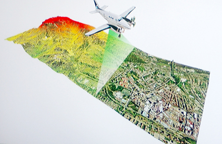
This data can also be used in conjunction with precision photography to generate a three-dimensional portrait of a forest.
“The instrument sits there on a tripod and it spins round and it fires out a laser beam, and every time the laser beam shoots out – thousands of times a second – it records how far the laser has travelled and essentially the distance between the laser and the object that it has hit,” said Dr Disney. “And in that way it builds up a three-dimensional picture of everything that’s surrounding the laser instrument.”
Researchers from UCL have recently collected laser scan measurements from more than 1000 trees in Brazil as part of a study into the impact of drought in the Amazon rain forest.


