Drones have taken to the sky across Victoria to test their capability for tasks like koala tracking, monitoring of planned burns and assisting with the broader identification of hazardous trees that pose a safety risk. Source: Timberbiz
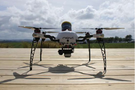
The Andrews Labor Government has recently concluded a successful 12 week trial of Remotely Piloted Aircraft Systems (RPAS, commonly referred to as drones) for use in land and environmental management.
The trial gave the Department of Environment Land Water and Planning (DELWP) the opportunity to test the capabilities of the aircraft in a variety of scenarios.
It was part of a broader 12-month project looking at a range of different types of drones and sensors.
Recently, the drones have been surveying koala populations at a number of sites in the Barwon South West region, with the aim of collecting data on population size.
The RPAS technology uses remotely sensed data, similar to that of a satellite, to source video and thermal imagery. A range of sensors have been used in support of DELWP’s land and fire management responsibilities.
A recommendation of the independent investigation into the Lancefield-Cobaw fire was that DELWP should consider the use of aircraft for burn security surveillance and planned burning operations.
In response, DELWP will investigate the increased use of emerging technologies to improve the efficiency and effectiveness of planned burn surveillance and other environmental management programs.


